A storm to hit the metro area and southern half of Minnesota could dump up to 20 inches of snow by the time it wraps up Thursday, which could make it the largest snowfall from a single storm in more than 30 years.
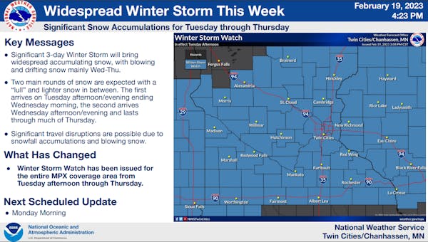
The National Weather Service has issued a winter storm watch covering an area south of Morris to Brainerd to Hinckley and extending to Rice Lake, Wis., effective from Tuesday afternoon through Thursday evening.
"The worst conditions will be Wednesday evening through Thursday, as heavy snow combines with northeast wind gusts of 30 to 40 mph," the Weather Service said. "Travel could be very difficult to impossible, and the gusty winds could bring down tree branches and cause power outages."
In the metro, snow will start off slow with an inch Tuesday afternoon followed by 3 to 7 inches overnight. After a brief break Wednesday morning, a second round will arrive in the afternoon and drop 7 to 13 inches before it wraps up Thursday afternoon.
"Locally, total accumulations could exceed 20 inches in some locations by Thursday night," the Weather Service said.
If 20 inches falls, it would tie for the third largest snowfall in the Twin Cities since 1884. The Twin Cities picked up 20 inches Jan. 22-23, 1982. The metro area's largest snowstorm was the infamous Halloween blizzard from Oct. 31 to Nov. 3, 1991, when 28.4 inches of snow fell, according to the Minnesota Climatology Office.
Peak winds are expected Wednesday afternoon into Thursday morning with blizzard conditions developing in open areas, the Weather Service said.
Behind the storms, temperatures will drop to 7 below zero by Thursday night and highs will be in the teens Friday rising to near 30 degrees by Sunday.